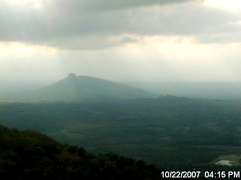
If you’re a drought watcher, as I am, here are a couple of good resources. The “haze cam” is on Sauratown Mountain looking toward Pilot Mountain. The United States Geological Survey maintains a real-time water-level gauge on the Dan River at Francisco. Francisco is up near the Virginia border, so the Francisco gauge reflects rainfall in Patrick County, Virginia, more than in Stokes County. But still it’s the only Dan River gauge in the area that I’m aware of.
Triad Haze Cam
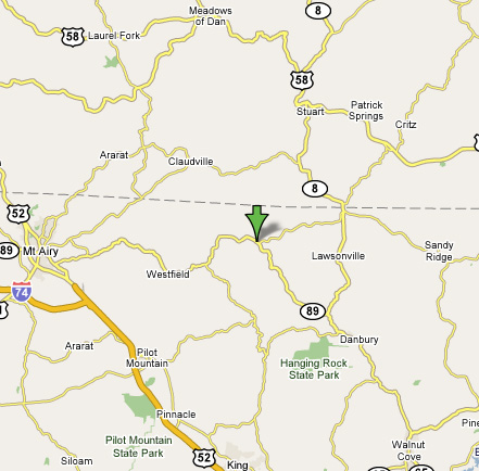
USGS real-time water level gauge, Dan River at Francisco

United States Geological Survey
In the graph above, the little triangles represent median flow for 64 years, so you can see the Dan River is running low. The small storms on Oct. 18 and 19 weren’t enough to even bring the river up to the median.
Post a Comment