
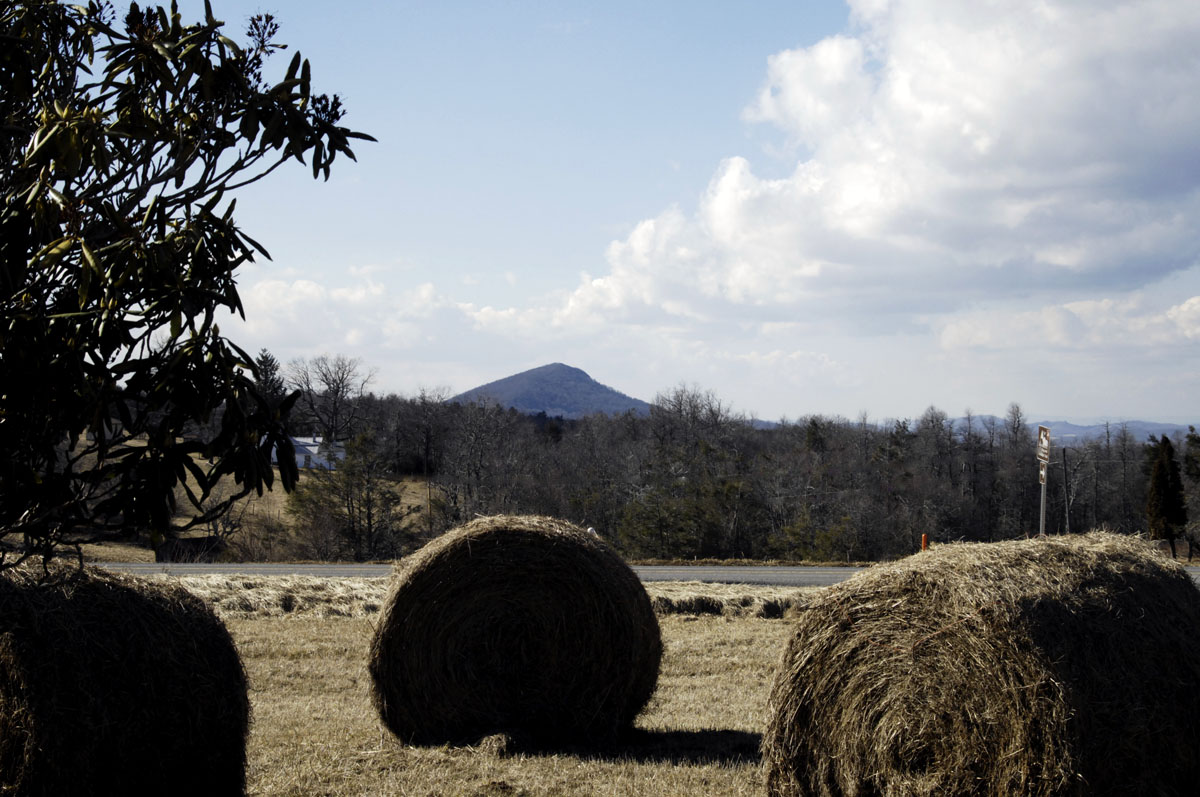
Buffalo Mountain seen from the Blue Ridge Parkway
Today I did two things that I’ve planned to do for a long time: Find and climb Buffalo Mountain in southwestern Virginia, and do some reconnaissance for stargazing in the remote dark-sky area that Buffalo Mountain lies in.
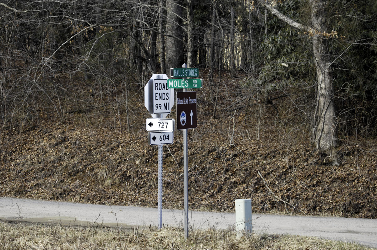
Find a mountain? It can be harder than you think, even with GPS, and even in a half-civilized state like Virginia. I had no GPS address or lat/long coordinates with which to specify my destination and find a way in. Plus the mountain is deep in the backwoods, accessible only by muddy dirt roads, poorly marked, that GPS mappers don’t know much about. I had to stop twice and ask the locals for help.
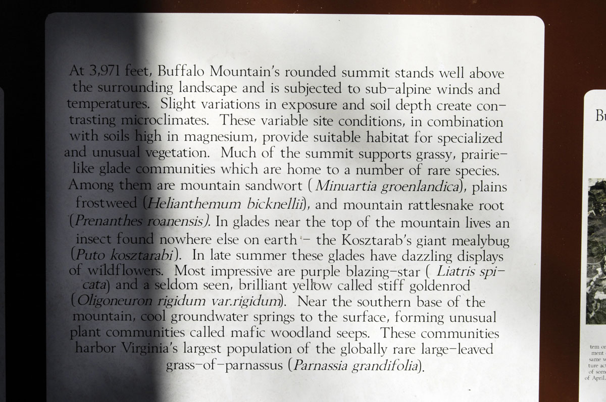
Many years ago when I was a student pilot making solo cross-country flights (not completely solo — my dog was always with me), Buffalo Mountain helped me navigate, though of course I had avionics. It’s an easily recognized prominence (3,971 feet) that can be seen for many miles. The scariest experience of my brief flying career, actually, was when I got too close to a thunderstorm front over Buffalo Mountain and scared myself pretty badly. But that’s another story…
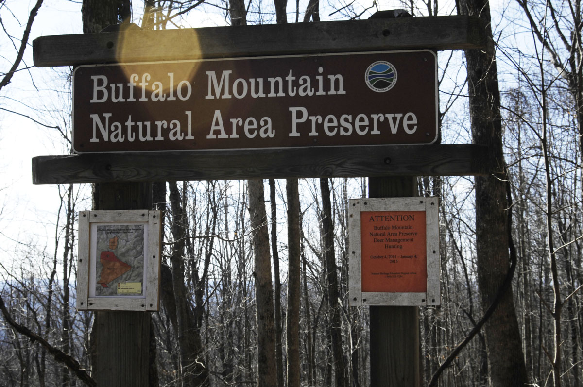
Anyway, I learned a year or so ago that Buffalo Mountain is now a Virginia wilderness area overseen by the Department of Conservation and Recreation. It’s in a very primitive state, and I don’t really know what plans there might be, if any, to improve its trails or make access easier. The road in is rough and muddy. My Smart car handled it OK, but some cars might founder in the ruts and mud, especially in bad weather. I would have been much more comfortable taking the Jeep to Buffalo Mountain, and, next time, I will.
There is a small parking area at an altitude of 3,421 feet. The trail up is along a shoulder of the mountain that faces southeast. It is rough, steep, and barely visible in places. I did not make it to the summit today. I was foolish and didn’t prepare for a hike that long — no water, no extra clothing, etc. The temperature was 49 degrees — a perfect hiking temperature. But I knew that the temperature would start dropping soon and that my light fleece jacket was sorry outfitting for someone alone and not exactly young in a wild area in January. I turned back at an altitude of 3,813 feet, not knowing at the time the altitude of the summit. If I had known I was so close, I’d have kept going, but I could not see the summit through the trees.
As a stargazing spot, being up there after dark probably is not allowed. Also, lugging a telescope up there would be a llama’s work, and I don’t have a llama. For stargazing in the area, probably the best plan would be to find a quiet spot with a clear view of the sky around Milepost 170 on the Blue Ridge Parkway. Did I mention that the Blue Ridge Parkway cuts through this dark-sky area?
It’s an interesting part of Virginia, really, and an interesting part of the Blue Ridge Mountains. The little town of Floyd, Virginia, is not too far away. Floyd has put itself on the map as a country-music destination. The Chateau Morrisette winery also is not far away. That’s a very civilized place to eat. Rocky Knob park and Mabry Mill are in the dark-sky area. Tuggle’s Gap Restaurant is not far. So there are plenty of other things to do in the area and plenty of places to eat and camp. But do your research — most places close during the winter. And winter, of course, is the best time for stargazing.
There is very little information online about public access to Buffalo Mountain, so I hope this post helps others find it. I’ll post again in the future after I get up to the summit. Here’s a link to the page on Buffalo Mountain on the web site of the Virginia Department of Conservation and Recreation.
If you’re looking for a GPS address to find Buffalo Mountain, try this: Moles Rd SW, Willis, VA 24380. However, there are two ends of Moles Road, and one end is completely impassible. One of the images below contains the lat/long coordinates of the parking area at Buffalo Mountain.
I plan to go back soon, better prepared, and with my telescope.
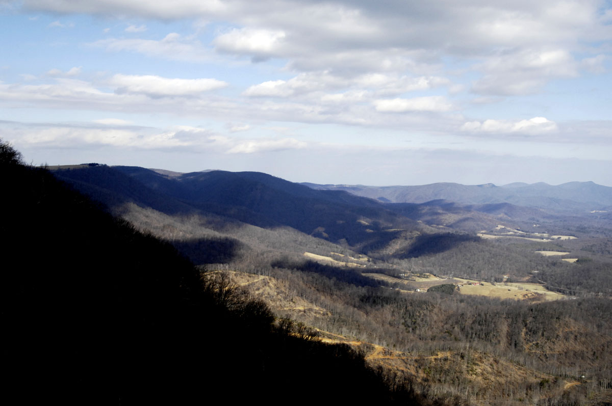
A view of some of the dark-sky area from the Blue Ridge Parkway
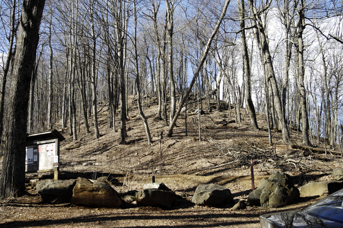
Looking toward the summit from the parking area
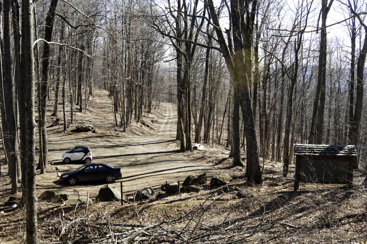
The parking area and the road in
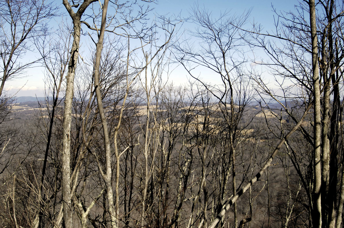
Looking through the trees on the climb up

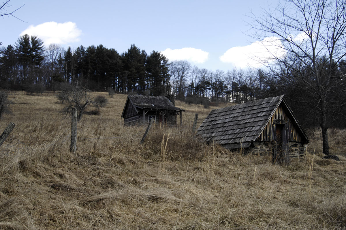
Mark Cox, a stone mason who gave me directions when I was lost
This might help folks find the way in
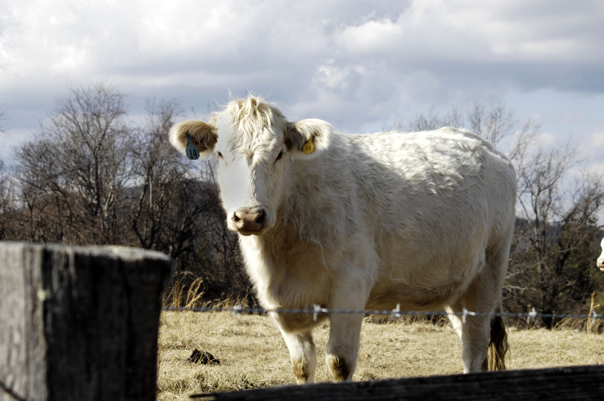
A cow on the Blue Ridge Parkway
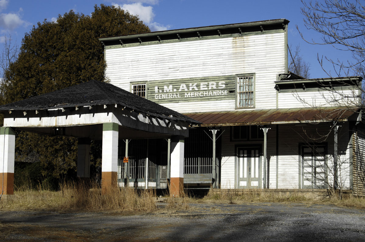
On Highway 8 near Woolwine, Virginia
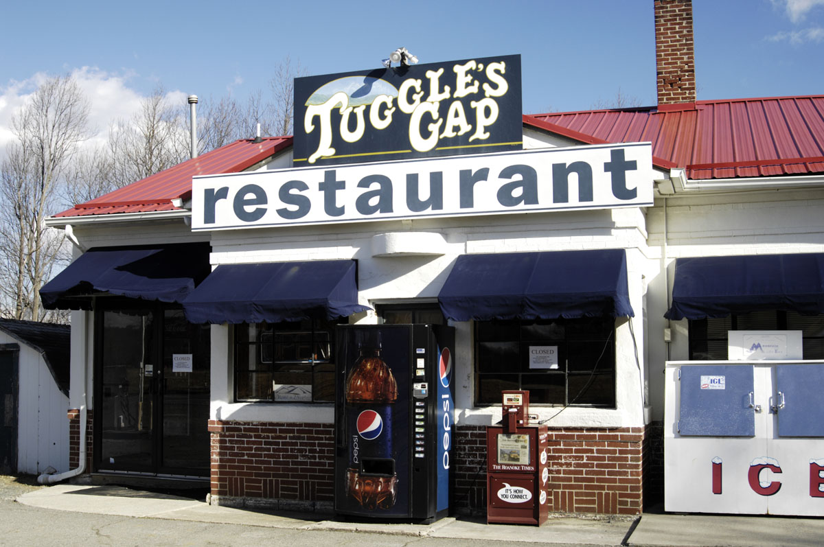
An eatery just off the Blue Ridge Parkway on Highway 8
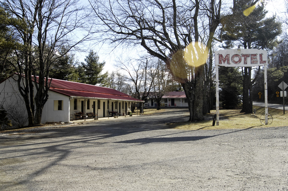
The motel beside Tuggle’s Gap Restaurant

Mabry Mill on the Blue Ridge Parkway. It’s in the dark-sky area.
Typical scenery on the backroads
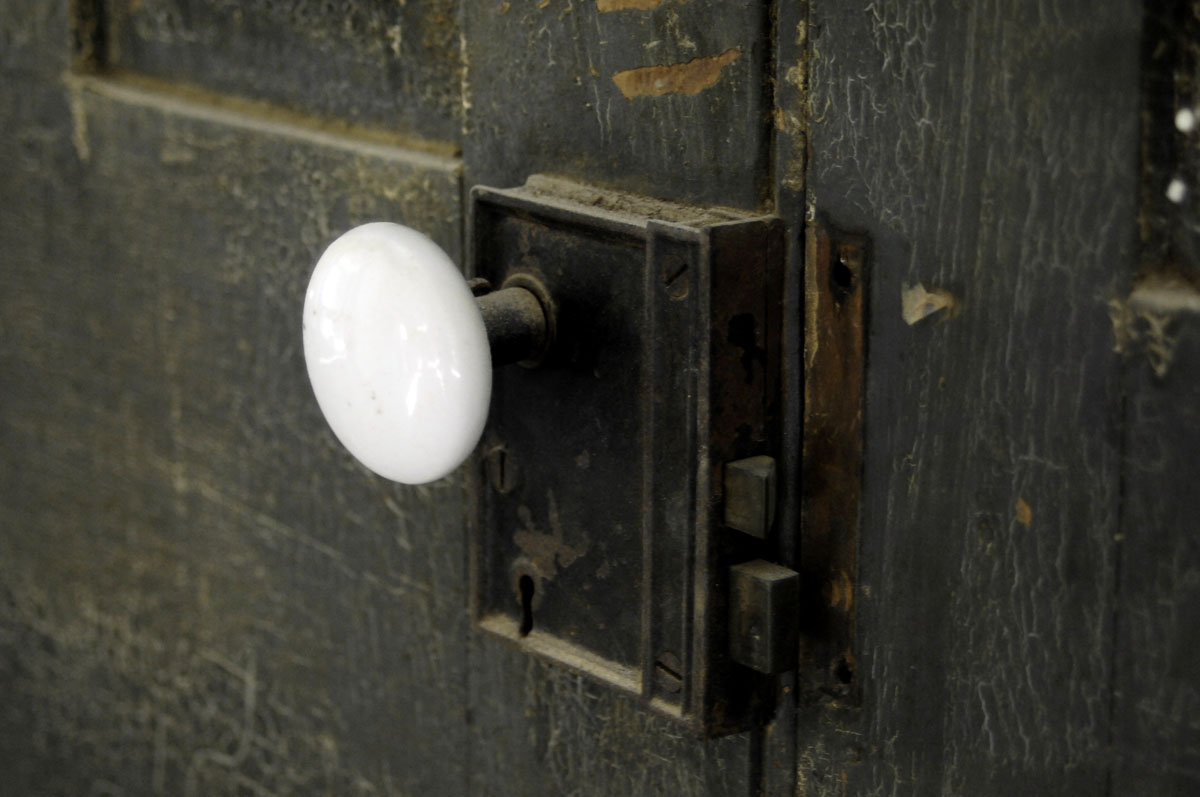
A doorknob in the old house that Mark Cox was helping to restore
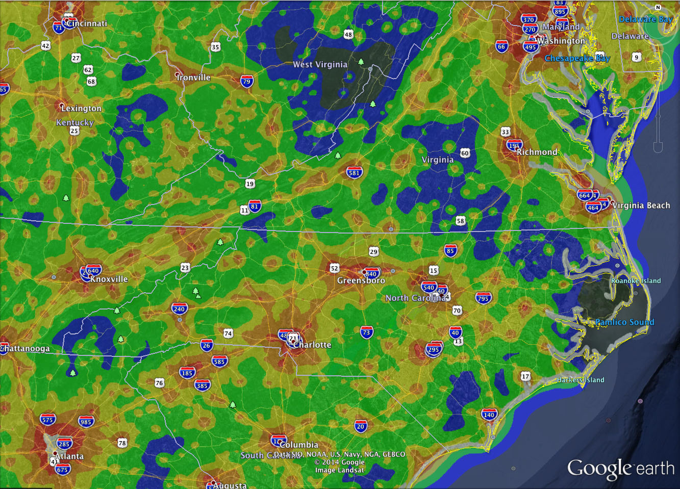
Light-pollution map, Washington to Atlanta. The blue areas are pretty dark.
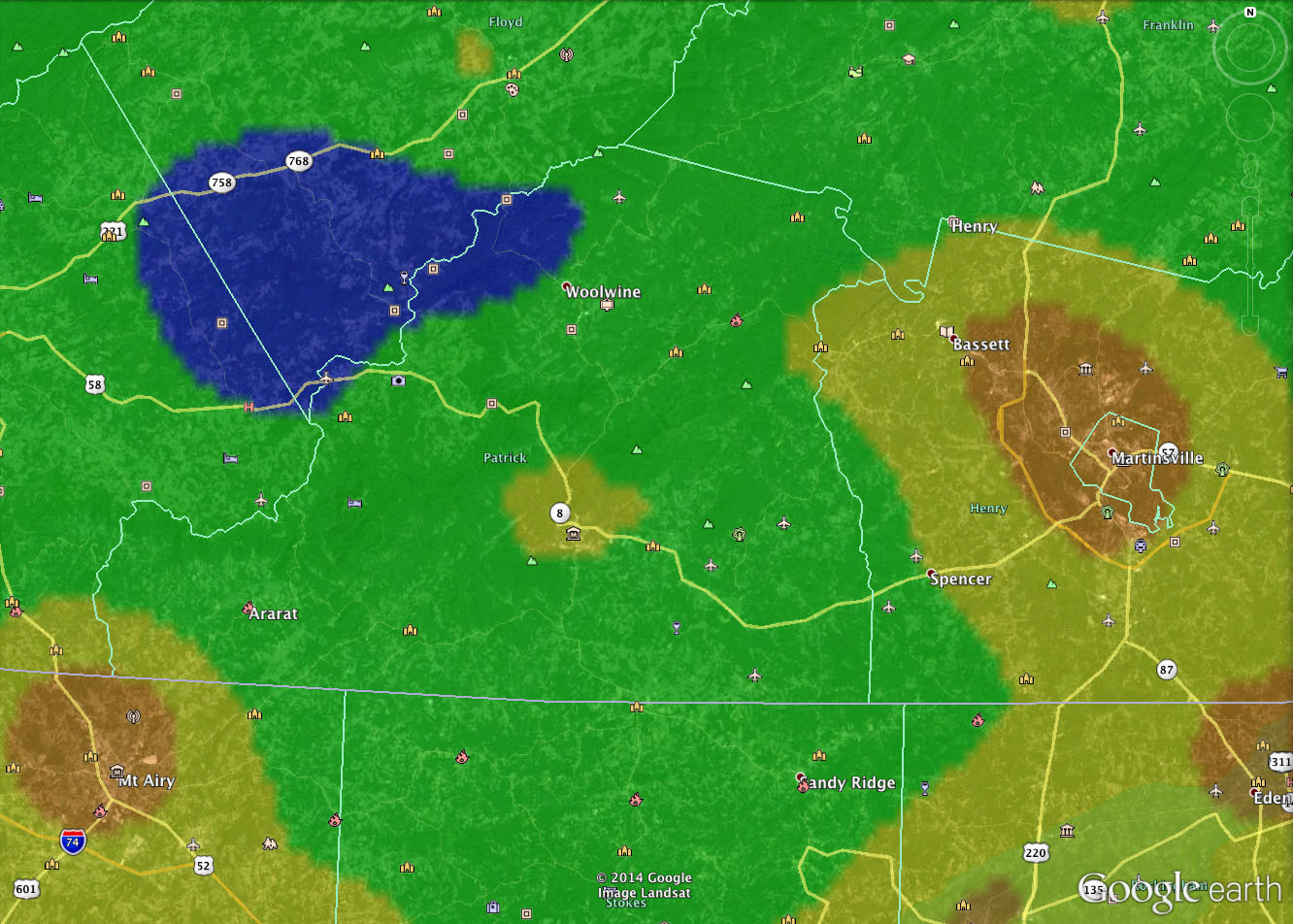
The blue spot is the dark-sky area closest to the abbey — about 50 miles north. Buffalo Mountain is inside the blue area.

iPhone screen capture shows lat/long coordinates of the parking area at Buffalo Mountain