
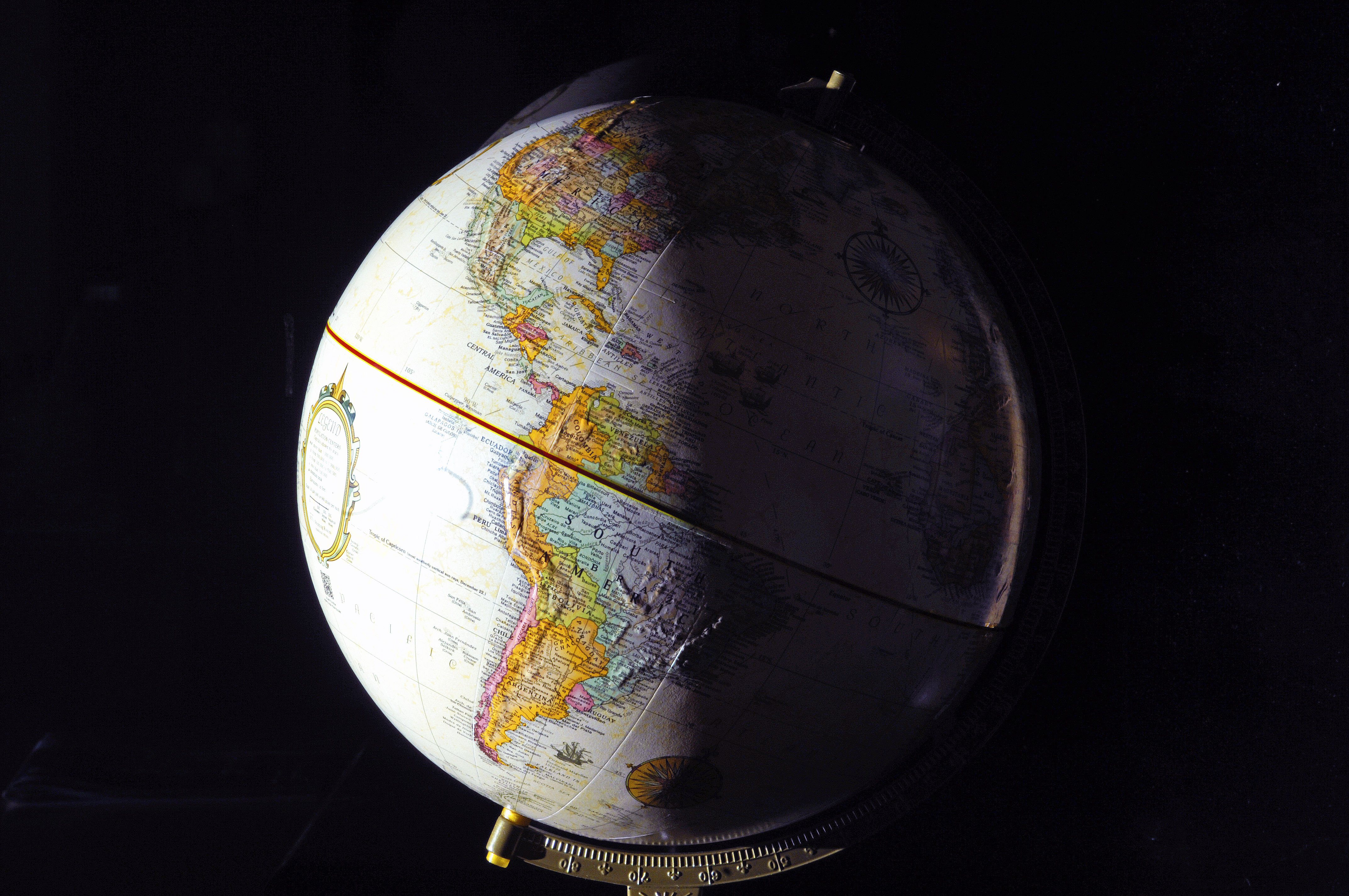
North America at sunset in New York, winter solstice. Click here for high-resolution version.
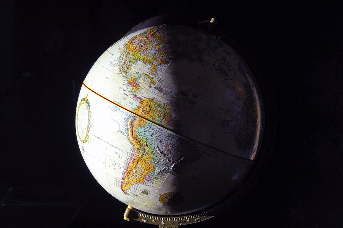
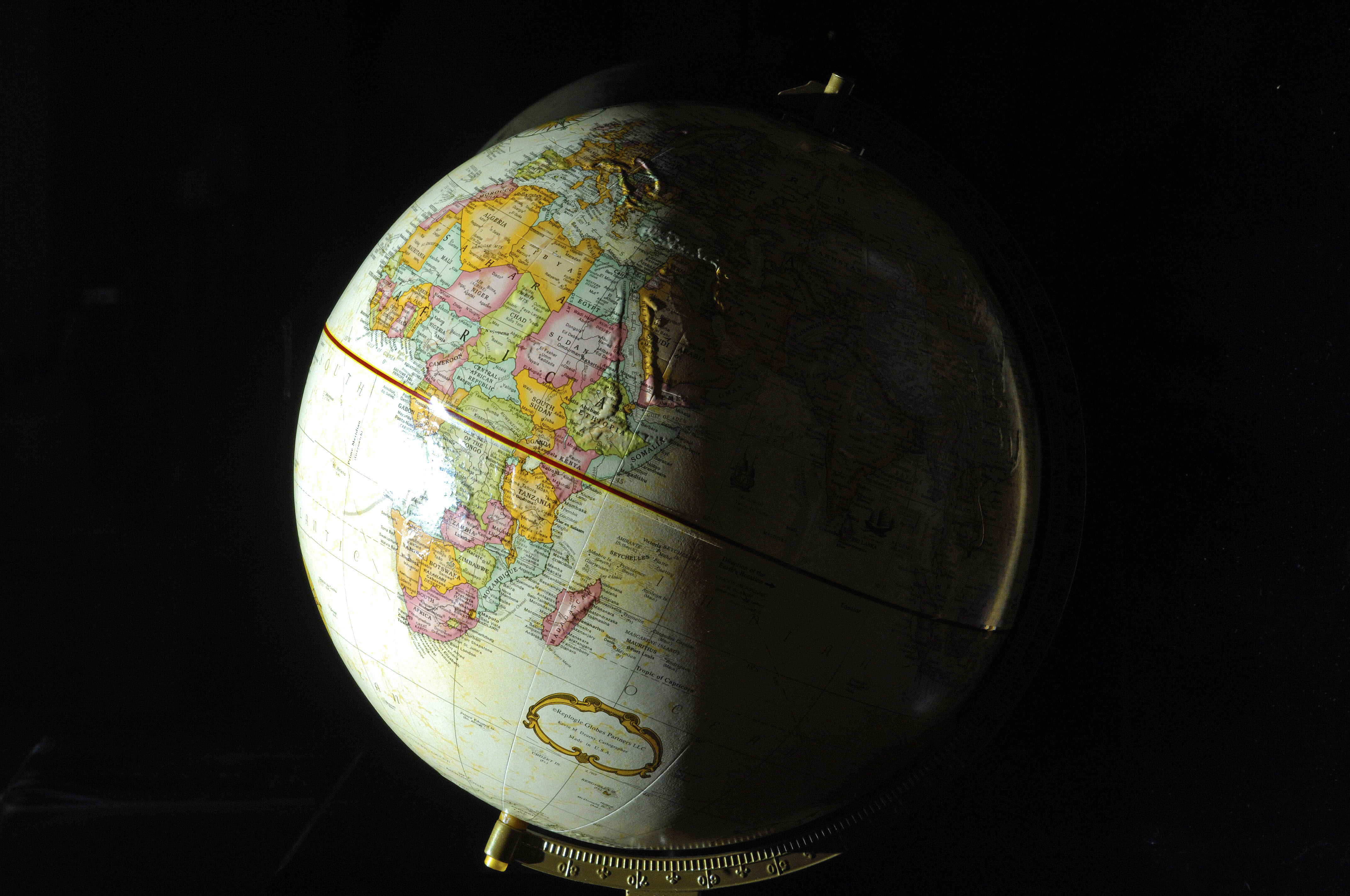
Maps are fascinating. But maps also are highly deceptive. That’s because there is no way to represent the surface of a sphere on a flat piece of paper without distortion. Today is the winter solstice, when the earth’s northern hemisphere is at its maximum tilt away from the sun. While testing a new portrait lens (a Nikon 105mm f2.5 prime lens), I shot photos of my globe, doing my best to light the globe the way the sun lit the earth today.
The first thing that I find striking is just how far north the United States and Europe are — particularly Europe. In the photo below, even sunny Italy is far to the north. The United Kingdom and Scotland are spookily close to the winter darkness inside the Arctic Circle. And just look at the vastness of Africa, even just the part of Africa that is north of the equator.
Maps are great for showing relatively small areas, because that can be done with minimal distortion. But to really see the vastness of our planet in perspective, you must consult a globe.

Just before sunset in northern Europe, winter solstice. Click here for high-resolution version.
I love a nice globe too 🙂 Its interesting how much less land there is in the southern hemisphere
Did you see that map projecting what a 4 degree warmer world might look like ? Shows how all that land in the far north is going to be very valuable as the world keeps heating up.
Hi Chenda… My ideal solution for a warmer world would be to winter here, and, on a 6-month visitor visa, live on one of the Scottish isles during the warm season. 🙂