In search of Buffalo Mountain — and some darkness

A-buffalo-01
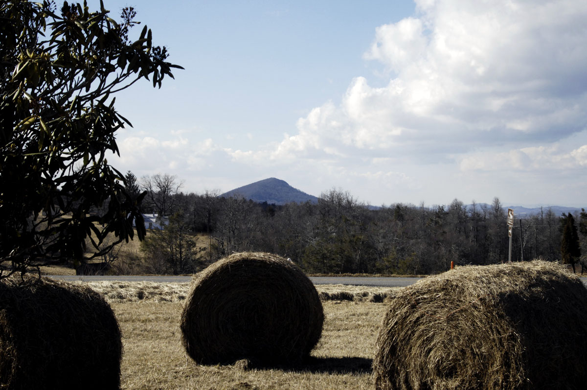
Buffalo Mountain seen from the Blue Ridge Parkway

Today I did two things that I’ve planned to do for a long time: Find and climb Buffalo Mountain in southwestern Virginia, and do some reconnaissance for stargazing in the remote dark-sky area that Buffalo Mountain lies in.

Find a mountain? It can be harder than you think, even with GPS, and even in a half-civilized state like Virginia. I had no GPS address or lat/long coordinates with which to specify my destination and find a way in. Plus the mountain is deep in the backwoods, accessible only by muddy dirt roads, poorly marked, that GPS mappers don’t know much about. I had to stop twice and ask the locals for help.

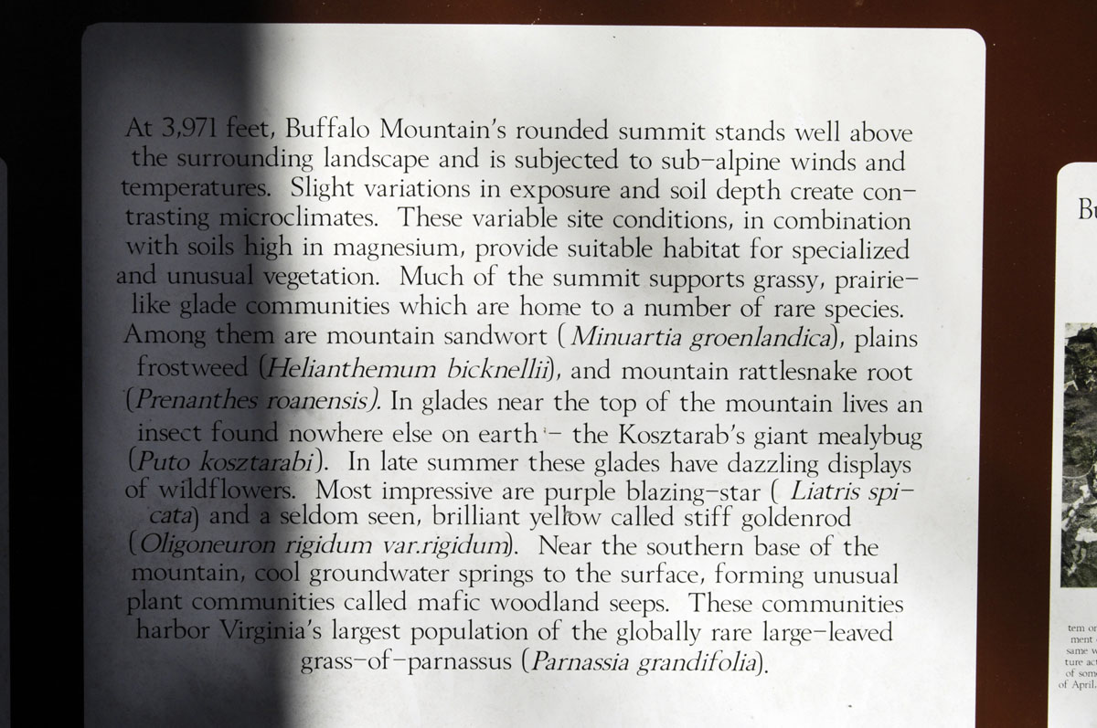
Many years ago when I was a student pilot making solo cross-country flights (not completely solo — my dog was always with me), Buffalo Mountain helped me navigate, though of course I had avionics. It’s an easily recognized prominence (3,971 feet) that can be seen for many miles. The scariest experience of my brief flying career, actually, was when I got too close to a thunderstorm front over Buffalo Mountain and scared myself pretty badly. But that’s another story…

Anyway, I learned a year or so ago that Buffalo Mountain is now a Virginia wilderness area overseen by the Department of Conservation and Recreation. It’s in a very primitive state, and I don’t really know what plans there might be, if any, to improve its trails or make access easier. The road in is rough and muddy. My Smart car handled it OK, but some cars might founder in the ruts and mud, especially in bad weather. I would have been much more comfortable taking the Jeep to Buffalo Mountain, and, next time, I will.

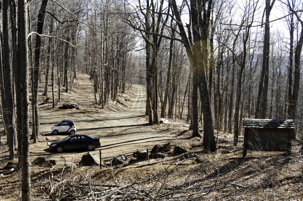
There is a small parking area at an altitude of 3,421 feet. The trail up is along a shoulder of the mountain that faces southeast. It is rough, steep, and barely visible in places. I did not make it to the summit today. I was foolish and didn’t prepare for a hike that long — no water, no extra clothing, etc. The temperature was 49 degrees — a perfect hiking temperature. But I knew that the temperature would start dropping soon and that my light fleece jacket was sorry outfitting for someone alone and not exactly young in a wild area in January. I turned back at an altitude of 3,813 feet, not knowing at the time the altitude of the summit. If I had known I was so close, I’d have kept going, but I could not see the summit through the trees.

As a stargazing spot, being up there after dark probably is not allowed. Also, lugging a telescope up there would be a llama’s work, and I don’t have a llama. For stargazing in the area, probably the best plan would be to find a quiet spot with a clear view of the sky around Milepost 170 on the Blue Ridge Parkway. Did I mention that the Blue Ridge Parkway cuts through this dark-sky area?

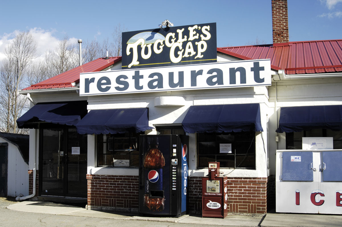
It’s an interesting part of Virginia, really, and an interesting part of the Blue Ridge Mountains. The little town of Floyd, Virginia, is not too far away. Floyd has put itself on the map as a country-music destination. The Chateau Morrisette winery also is not far away. That’s a very civilized place to eat. Rocky Knob park and Mabry Mill are in the dark-sky area. Tuggle’s Gap Restaurant is not far. So there are plenty of other things to do in the area and plenty of places to eat and camp. But do your research — most places close during the winter. And winter, of course, is the best time for stargazing.

There is very little information online about public access to Buffalo Mountain, so I hope this post helps others find it. I’ll post again in the future after I get up to the summit. Here’s a link to the page on Buffalo Mountain on the web site of the Virginia Department of Conservation and Recreation.

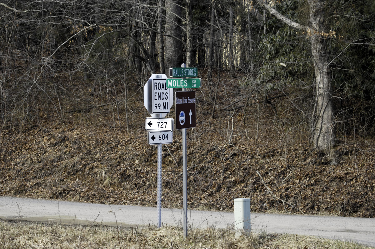
If you’re looking for a GPS address to find Buffalo Mountain, try this: Moles Rd SW, Willis, VA 24380. However, there are two ends of Moles Road, and one end is completely impassible. One of the images below contains the lat/long coordinates of the parking area at Buffalo Mountain.

I plan to go back soon, better prepared, and with my telescope.
A-buffalo-02
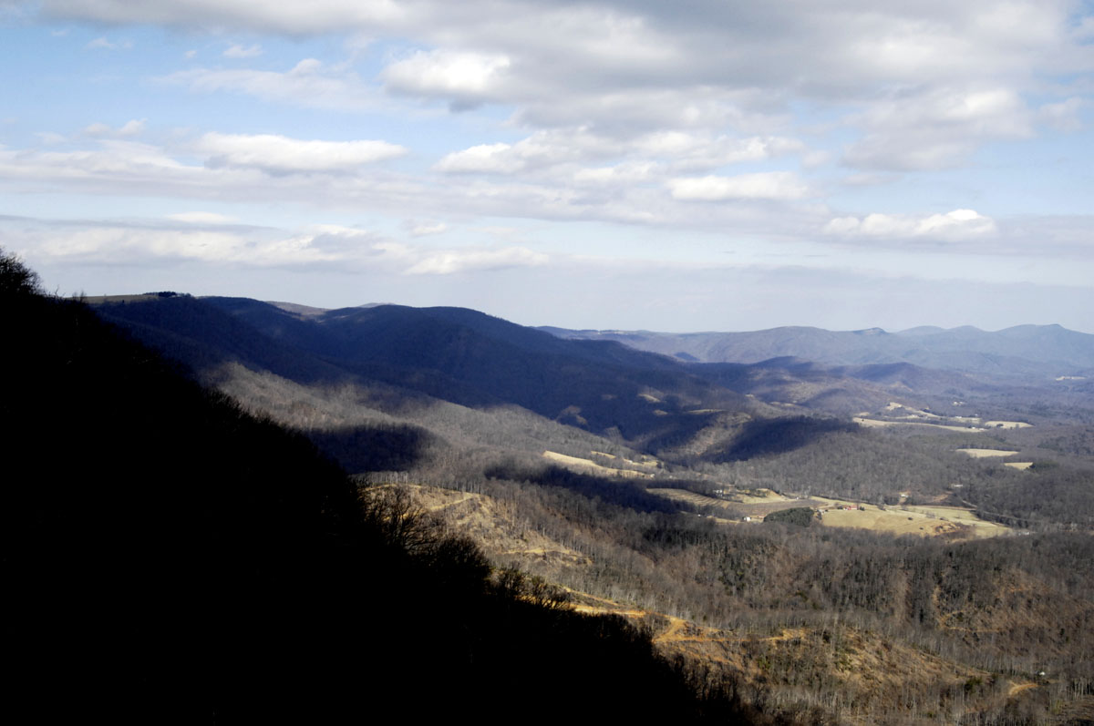
A view of some of the dark-sky area from the Blue Ridge Parkway
A-buffalo-03
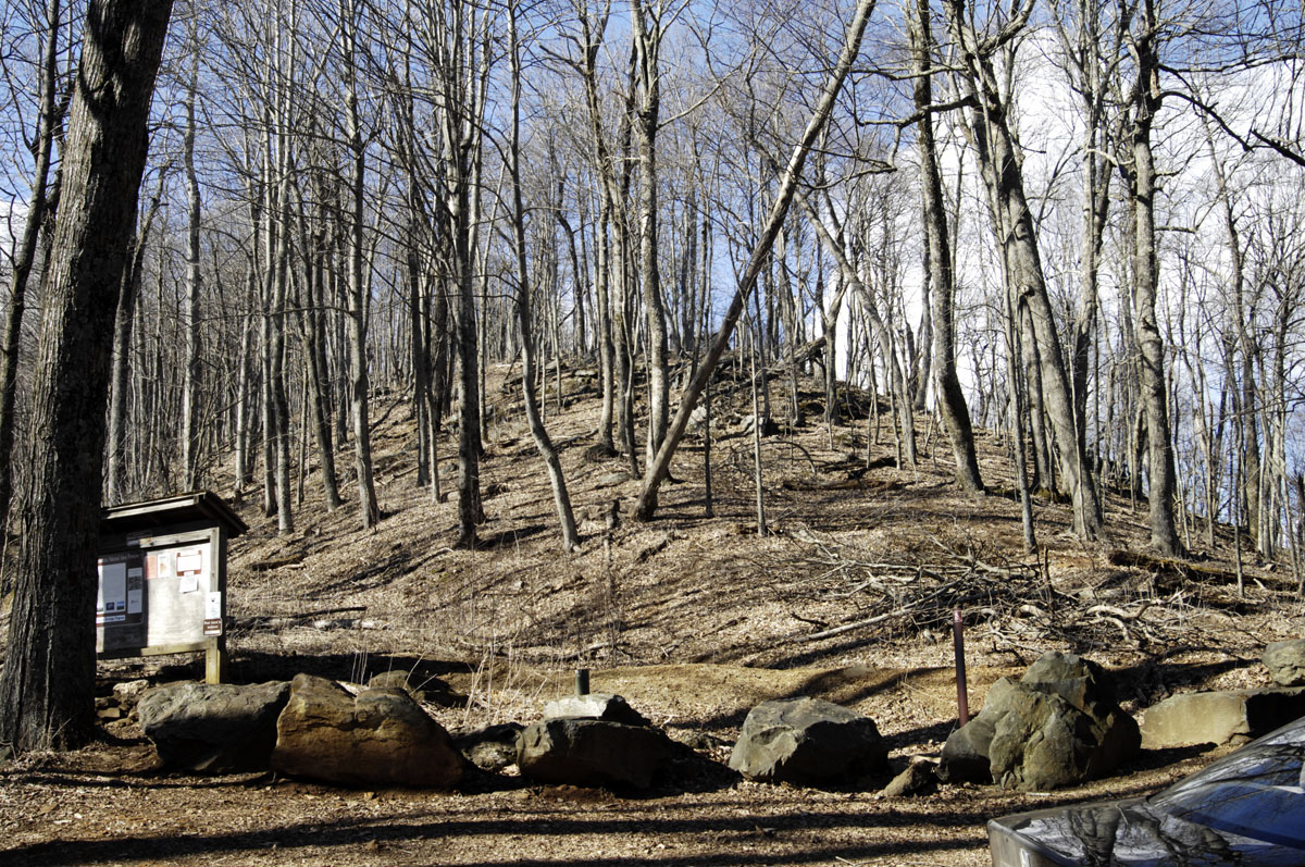
Looking toward the summit from the parking area
A-buffalo-04
The parking area and the road in

A-buffalo-05
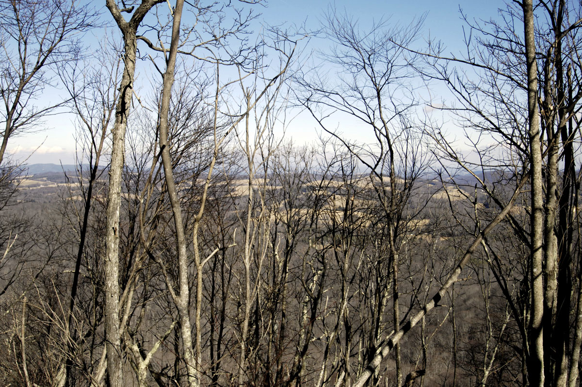
Looking through the trees on the climb up
A-buffalo-06

A-buffalo-07

A-buffalo-08
Mark Cox, a stone mason who gave me directions when I was lost
A-buffalo-09
This might help folks find the way in
A-buffalo-10
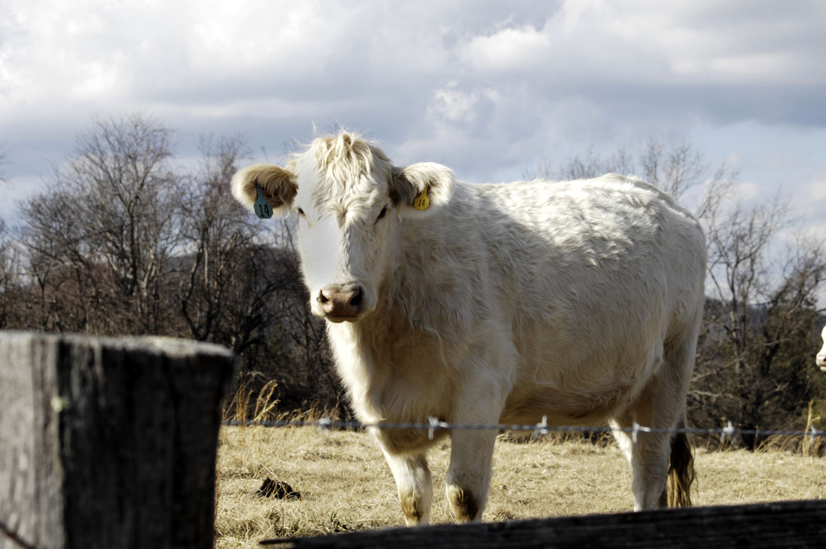
A cow on the Blue Ridge Parkway

A-buffalo-11
On Highway 8 near Woolwine, Virginia

A-buffalo-12
An eatery just off the Blue Ridge Parkway on Highway 8
A-buffalo-13
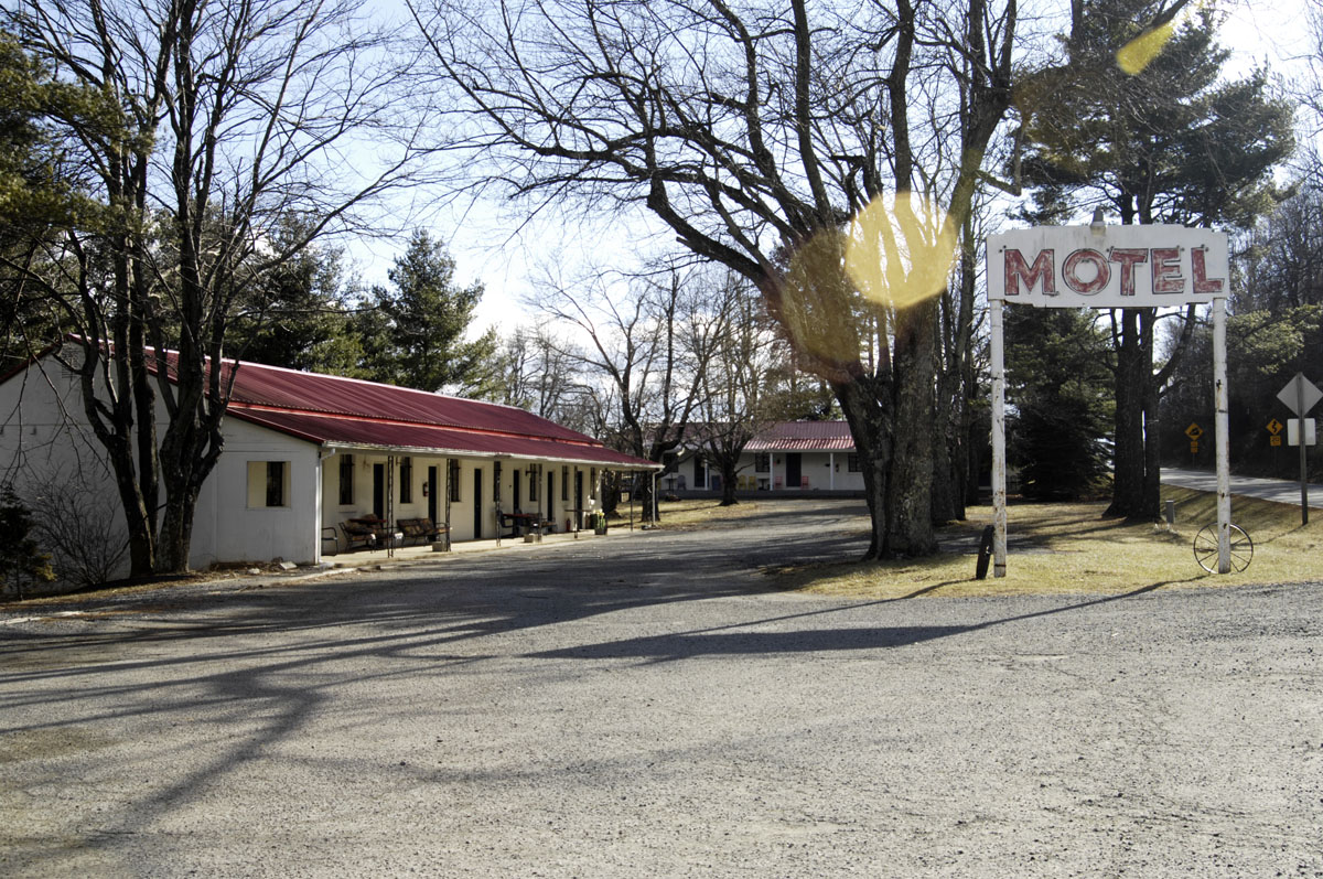
The motel beside Tuggle’s Gap Restaurant

A-buffalo-14
Mabry Mill on the Blue Ridge Parkway. It’s in the dark-sky area.
A-buffalo-15
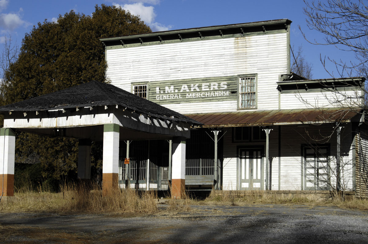
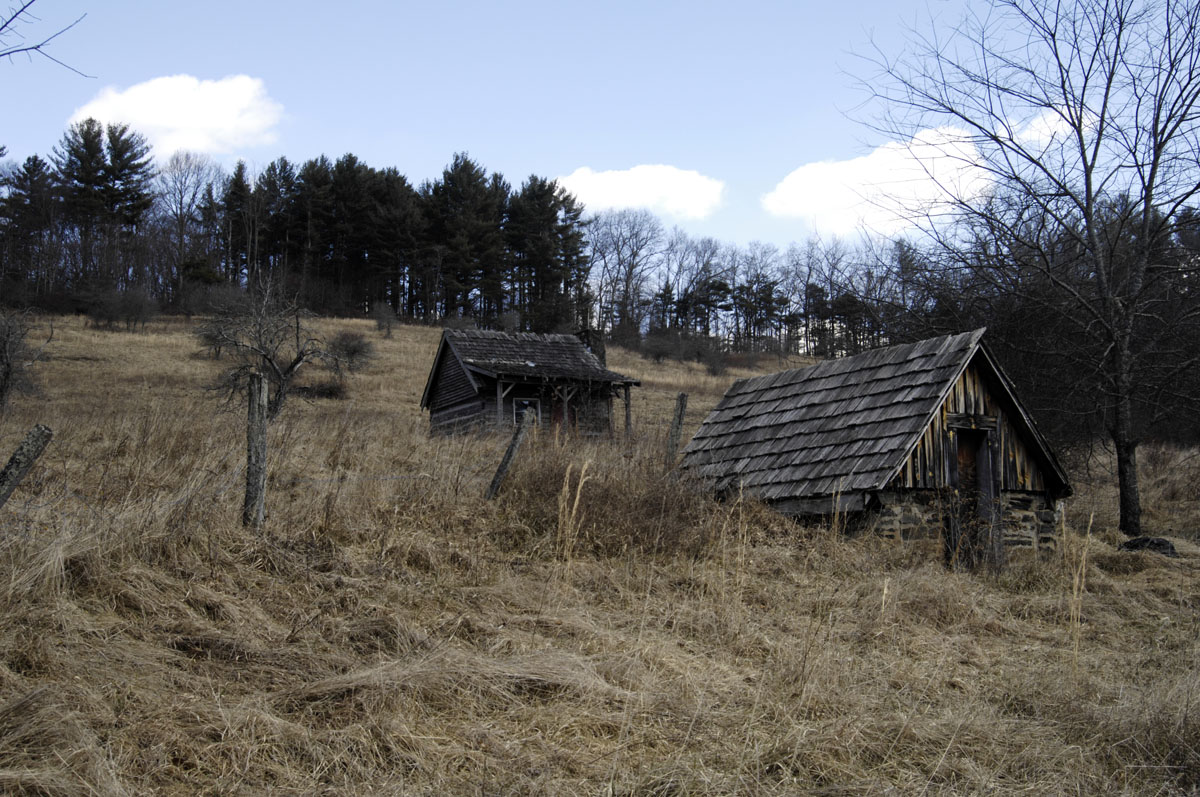
Typical scenery on the backroads

A-buffalo-16
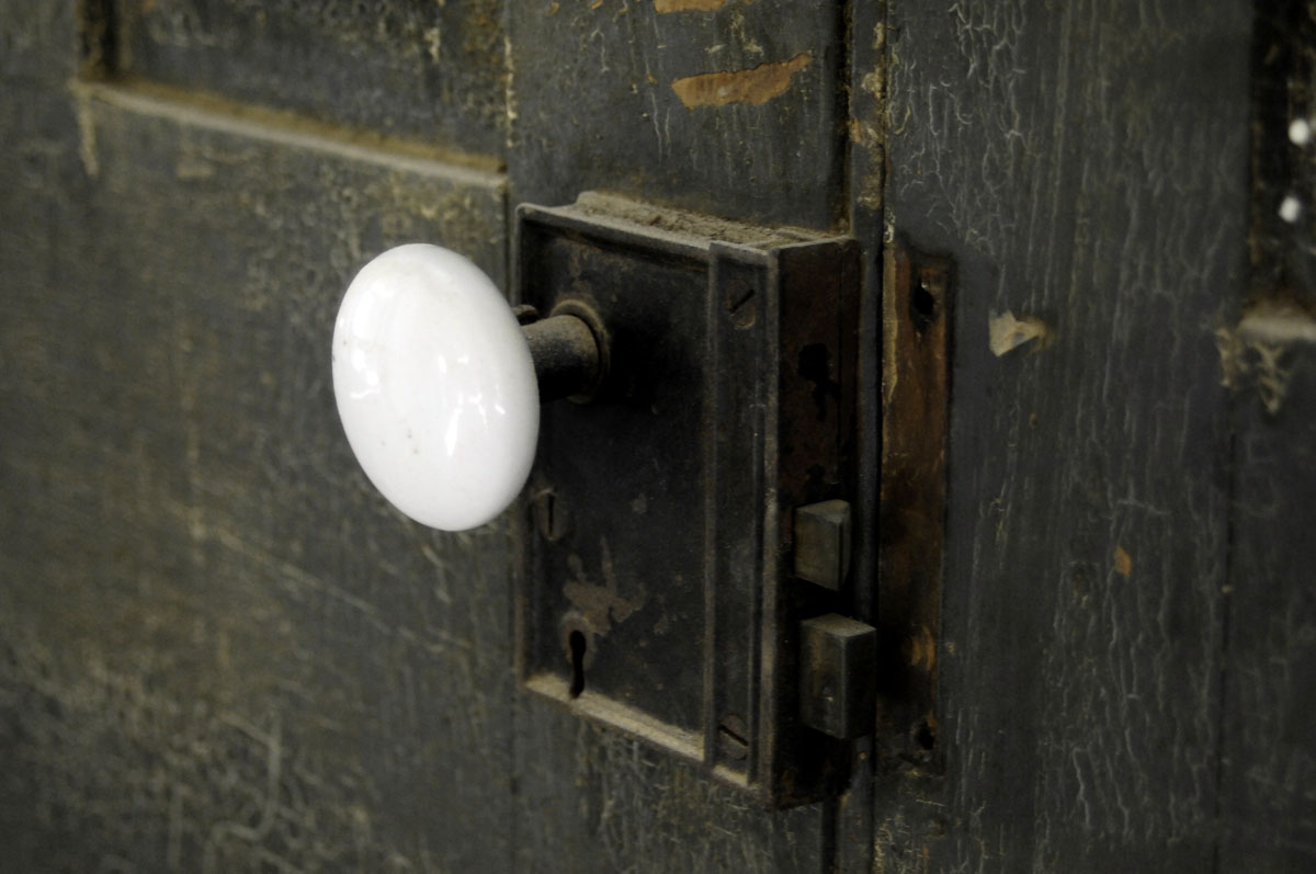
A doorknob in the old house that Mark Cox was helping to restore
dark-sky-1
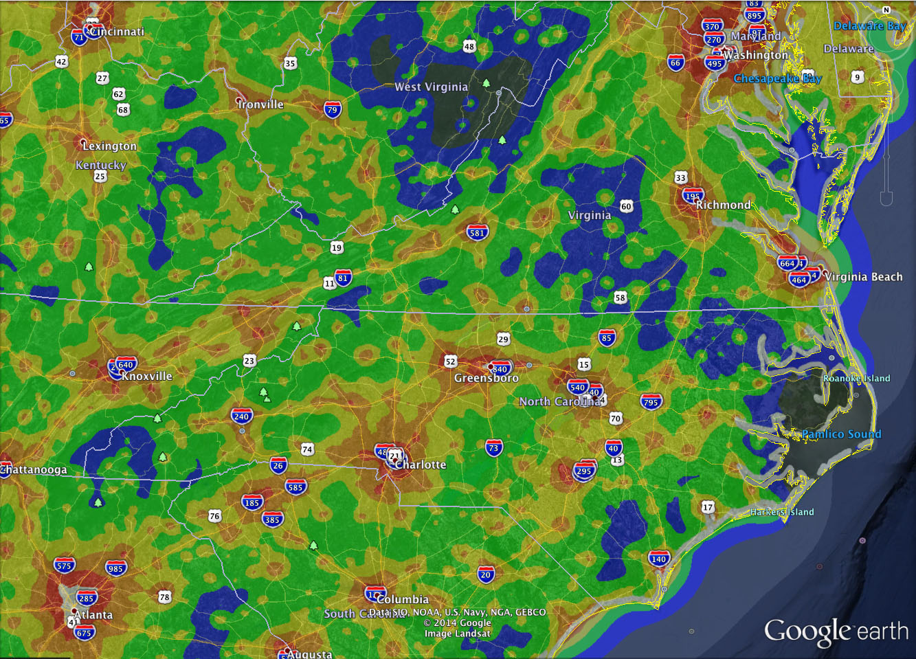
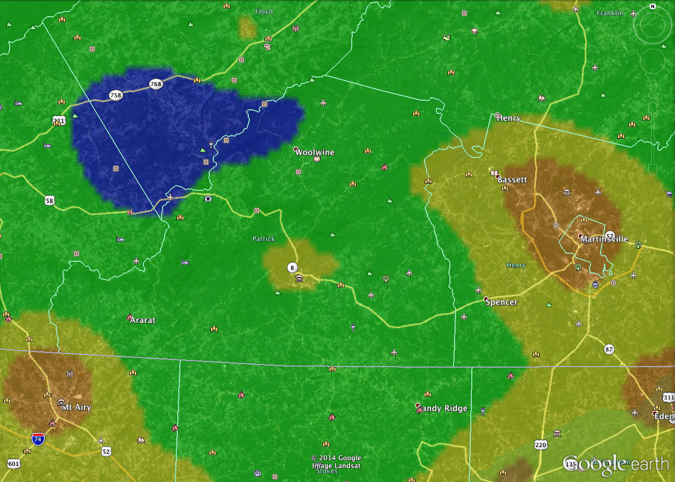
Light-pollution map, Washington to Atlanta. The blue areas are pretty dark.
dark-sky-2
The blue spot is the dark-sky area closest to the abbey — about 50 miles north. Buffalo Mountain is inside the blue area.

buffalo-mountain-coordinates
iPhone screen capture shows lat/long coordinates of the parking area at Buffalo Mountain
Did you change your bookmarks?

new-site

This blog has been copied — lock, stock and barrel — from crippledcollie.com, where the blog was started in 2007. This will be the blog’s new home, though I’ll update both domains in parallel (probably for months) to give everyone time to move here. Eventually, crippledcollie.com will be retired, and all the new material will be here. However, I am in no hurry to retire crippledcollie.com, which gets about 5,000 visitors per week. Since 2007, I’ve written so many posts on so many subjects that a lot of people land here with Google searches. I don’t want to lose all that Google traffic.

Note that when you visit the Into the Woods blog here in the new domain, all the existing posts have been copied here, going all the way back to 2007. You’ll find a simpler, fresher look. Photos will display slightly larger. And, because the new blog uses the latest version of WordPress, I’m hoping that comments will be easier.

The Into the Woods blog will continue to focus on simple living in rural America. But because Acorn Abbey is increasingly involved in publishing, a new domain, appropriately named, with some shift in focus seems appropriate.

I’ll have more information soon on the next book to come out of Acorn Abbey. That will be Fugue in Ursa Major, a science fiction novel by David Dalton. The novel is finished and is now being edited. Soon the novel will be in the hands of my three distinguished reader/advisers. After that, there will be more editing and minor revisions before it’s published. Publication should happen in late November or December.

I’m going to self-publish Fugue in Ursa Major. The odds of finding a commercial publisher are terrible. Self-publishing is no longer stigmatized. I’ve been in publishing all my life, so it’s easy work. There will be a trade paperback version available through Amazon, as well as an Kindle edition and an edition for Apple iBooks.

First snow of the winter

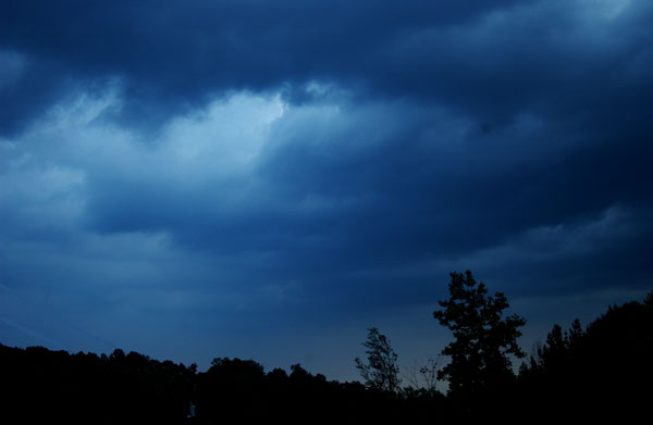
More than 6 inches of rain has fallen here this week. The rain was forecast to turn to snow tonight at midnight, but it turned to snow five hours early. Plus, it’s thundering. Last week the temperature was 70 degrees.

I’d much rather have the rain and snow than the spookily warm weather. The cherry trees were blooming in Winston-Salem. And this is the kind of prolonged winter rain that feeds the aquifer and protects our well water.

A helicopter theory?

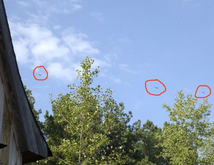
I’ve mentioned a number of times the unusual amount of military helicopter traffic over Acorn Abbey. I think I may have a clue. On Thursday, 36 hours or so before Hurricane Irene came ashore in North Carolina, there was a westward parade of helicopters, all following the same course (though at a higher altitude than usual, probably around 7,000 feet). Then today, after Hurricane Irene had safely passed by, there was a eastward parade of helicopters on the opposite course.

It seems very likely to me that the military was moving aircraft stationed in eastern North Carolina to another military base to keep them safe from the hurricane. Then they moved them back. As far as I can tell, if you draw straight lines between all the military bases to the east and west of me, none of the straight lines pass directly over Acorn Abbey. A straight line from Seymour Johnson Air Force Base in eastern North Carolina to Fort Campbell, Kentucky, looks like the best match. Maybe the aircraft alter their course to stay north of the much more densely populated Winston-Salem and Greensboro area.

New camera

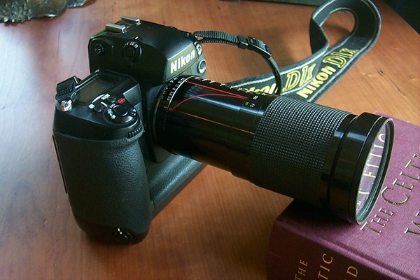
I finally broke down and bought a new camera. Well, not a new camera — an eBay camera. It’s a Nikon D1X, which Nikon stopped making in 2004. They were Nikon’s top of the line and quite expensive when they were new, with a list cost of almost $6,000. But professionals now consider the D1X obsolete, so good ones can now be found on eBay for less than $300.

The camera did not come with a lens. I also bought a lens on eBay. I took a chance on an oddball lens — a 28-200mm zoom lens. It’s a telephoto lens, but it also doubles as a “macro” lens for close-ups. The lens seems to be well suited for nature photography, which is mostly what I do. I haven’t tried it out yet with food photos. That will be a challenge.

My old camera is a Kodak DC265, an early digital point-and-shoot camera from around 1998. It’s a testament to the old Kodak that I’ve been able to use it for this long. But eventually the bad habits of lower-end cameras become unbearable. They shoot whenever they feel like it, rather than when you press the shutter button. It’s impossible to take multiple photos in rapid sequence. You’re stuck with one (sorry) lens.

But the Nikon D1X is a very different story. It’s ready to use the instant you turn it on. When you press the button, it shoots. If you hold the button down, it will take take three pictures per second and keep shooting (essential for action shots). It’s what the professionals all used not too many years ago.

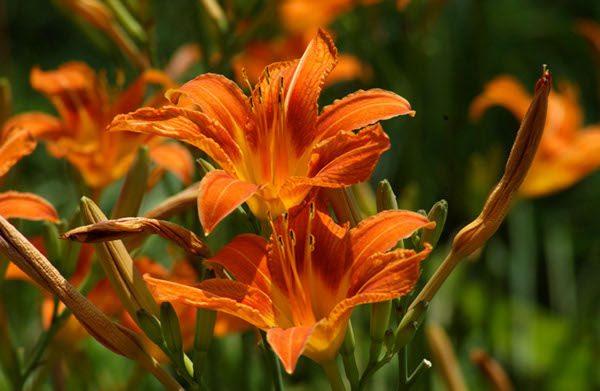
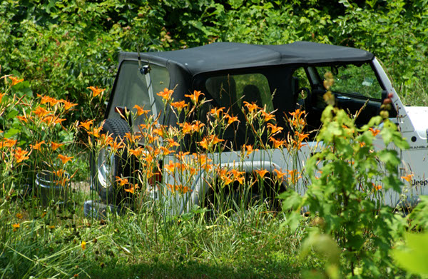
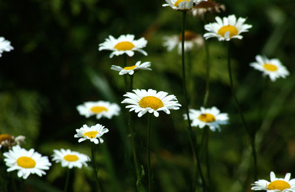
I’m still figuring out the camera, but here are some early test shots.

Bon voyage, Ken…


Ken’s van, parked in the storage area above the garden

Ken has departed with a one-way ticket for Coldfoot, Alaska. It was a miserable 95F outside yesterday when I drove him to Winston-Salem to catch a bus for the first leg of his trip. I couldn’t help but quip that heading for the arctic is what a sensible person would do right now.

Ken put out ads to try to sell his celebrated van, but there were no serious offers. So Ken is still the van man, even if the van is in storage for a while here at the abbey.

I believe Ken plans to write about his adventures at his Spartan Student blog.

Baby groundhogs


Photo by Ken Ilgunas

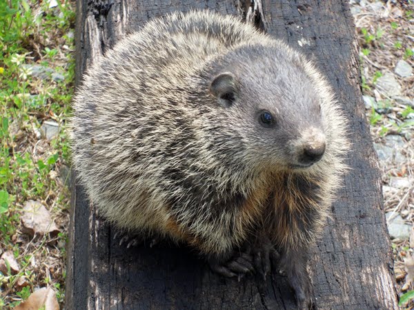
The groundhog population at the abbey has grown by at least two. We’ve seen them several times, not behind the house and garden where Mr. Groundhog usually appears, but in front of the house along the road, as though they’re living in the rabbit patch. Ken took several photos of the two baby groundhogs, as well as a video.

Ken’s blog is here, and this is a permalink to the groundhog post. Ken also has posted some nice photos of spring growth at the abbey.