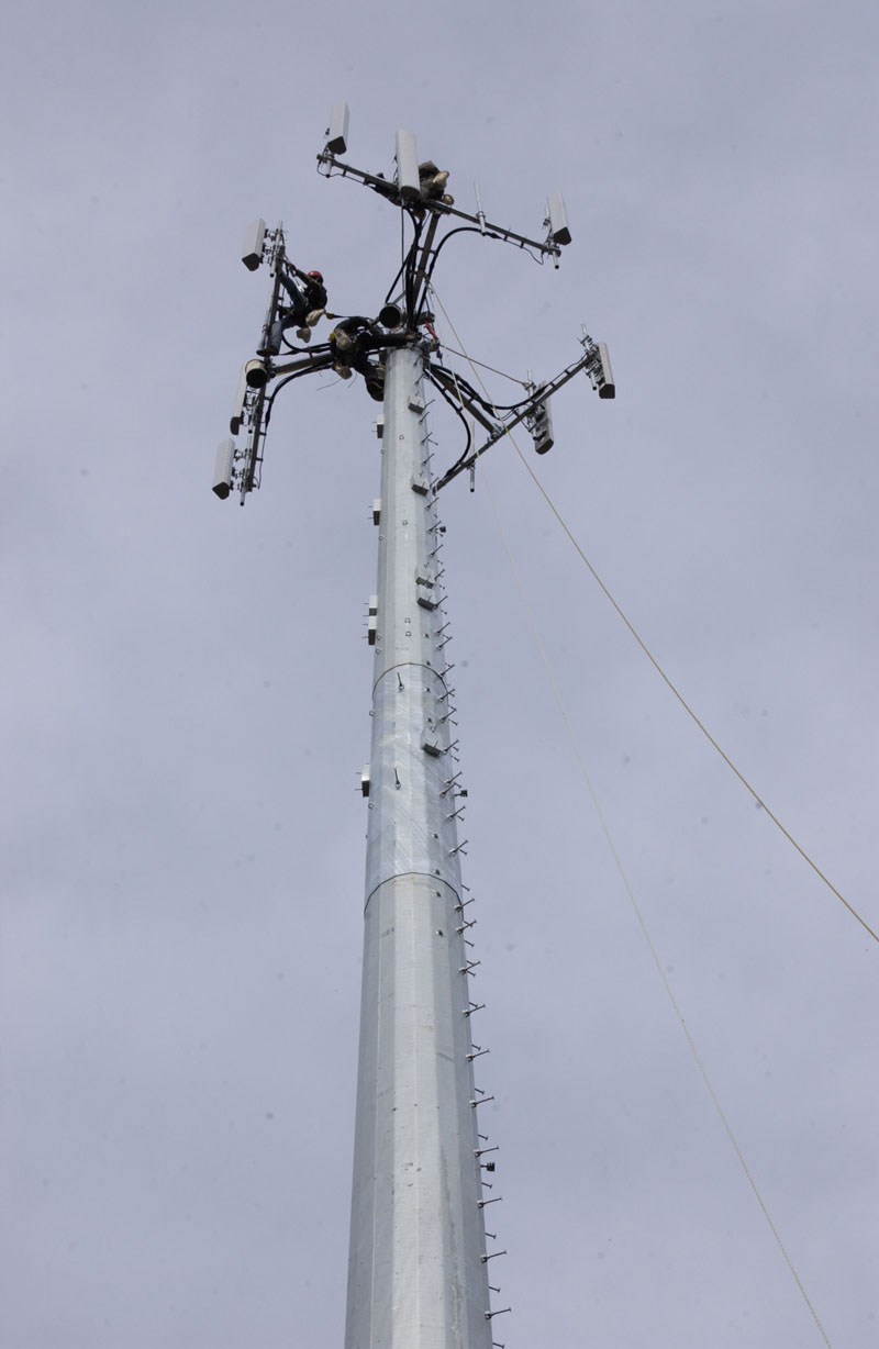
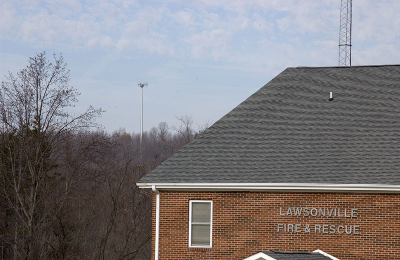
When someone puts new communications infrastructure in a data-poor rural place like northern Stokes County, it’s a big deal. Verizon is finishing up a new tower in the Lawsonville area, and it’s exciting for the folks around here.
When cellular towers started popping up in the countryside 10 and 15 years ago, I scorned them for their ugliness. Now I overlook the ugliness, because in rural places where we’ll probably never see fiber optic or cable, wireless services are our best hope. Those of you who live in places with good celluar coverage don’t need to care about where the towers are, but here in the sticks we need to know.
My present Internet connection draws on a Verizon tower about 4 miles away. I have a directional antenna in my attic that is aimed at that tower. The antenna plugs into a Verizon “air card,” and the air card plugs into a WIFI router. On a good day, I can get speeds of 1.25 Mbps down, enough to stream a Netflix or Hulu movie on the Apple TV. At other times, the connection is slower, around .75 Mbps down. This is much, much better than it used to be, after Verizon bought Alltel and continued to expand its rural coverage. But that is pathetically slow by urban or international standards, and it also costs more than much faster service in urban areas.
The new Verizon tower is about 15 miles away over the crooked roads we have in these parts. Yesterday I went out on a mission to have a look at the new tower and record its latitude and longitude, so that I can calculate its actual distance and make a guess about whether the new tower will help me get faster Internet. I also hoped to catch some engineers at work so that I could annoy them with questions. I’ll also make this into a little tutorial on how to find your nearest tower and calculate its precise distance from you.
First of all, you have to know where the towers are and which carrier the towers belong to. It may not be easy to get this information. Here in northern Stokes, the easiest way to track new towers is to follow the meetings of the county commissioners. Permits for new towers are always on their agenda. At last Monday’s meeting of the commissioners, it was mentioned that the new Verizon tower is expected to “light up” in a couple of weeks. If you don’t have local political intel on where the towers are, you often can identify them by searching the Antenna Search database. That database may not always be up to date, but it’s a start.
Then you drive to the tower and use your iPhone or a GPS device to record the latitude and longitude of the tower. The coordinates of the new Verizon tower at Lawsonville are longitude 80.223695 west, and latitude 36.496175 north.
A word about the notation used for latitude and longitude: There are two ways of doing this. There is a decimal format, which I used above and which your GPS device probably uses by default; and there is the traditional format that uses degrees, minutes, and seconds. You must always be aware which notation is being used and convert between them if necessary. There is a calculator here for doing this conversion. The Lawsonville tower’s coordinates, converted to traditional notation, are longitude 80 degrees west, 13 minutes, 25.302 seconds; latitude 36 degrees north, 29 minutes, 46.23 seconds. This can be represented as -80° 13′ 25.302″, +36° 29′ 46.23″.
Once you have the coordinates for the tower, get the coordinates for your home. For convenience, record the locations in both decimal and traditional notation. Now you can use a calculator to derive the distance and the direction (also called the azimuth) between the two points. Here is a link to the FCC’s calculator. The FCC kindly puts these calculators on line because calculations like this are often done in radio work. Use the FM-type calculation, since we’re talking about FM radio. (Digital brats still wet behind the ears like to quarrel with me and say that cell phones are not radios — they’re phones. Digital brats also like to deny that there is anything analog in the process. Wrong, wrong, wrong. It’s radio, and radio is always and forever analog, even when carrying signals that are digitally modulated. Digital brats like to think that radio is obsolete. They are laughably wrong. Their digital lifestyles are dependent on radio.)
When I did these calculations for the new Verizon tower, I found that it is 7.6 miles from me. That’s a good bit closer than I had expected, and it’s probably close enough to improve my Internet and cell-phone coverage, even though there’s a second Verizon tower about 4 miles away. One nice thing about Verizon’s CDMA technology is that a single device such as a smartphone can actually pull from more than one tower to increase its data bandwidth. I am not absolutely certain that this is true of Verizon’s new LTE 4G technology, but the engineer I spoke with yesterday up at the tower seems to think it’s also true of LTE 4G.
Speaking of LTE 4G, Verizon continues to say that their rollout of LTE 4G nationwide will be complete by the middle of 2013. The engineers I spoke with yesterday said that the LTE 4G cabinets for the new tower have been ordered but that they have not yet been received or installed.
There is no fiber optic connection to the new tower — it’s too remote, just as I am too remote for fiber or cable or even DSL. For “back haul” of the data, the engineers tell me that a microwave link will be used to another Verizon tower that does have a fiber connection. The other end of the microwave link is almost certainly the Verizon tower that is 4 miles from my place (on Mission Road), since that tower does have a fiber optic connection to “back haul” the data to urban civilization.
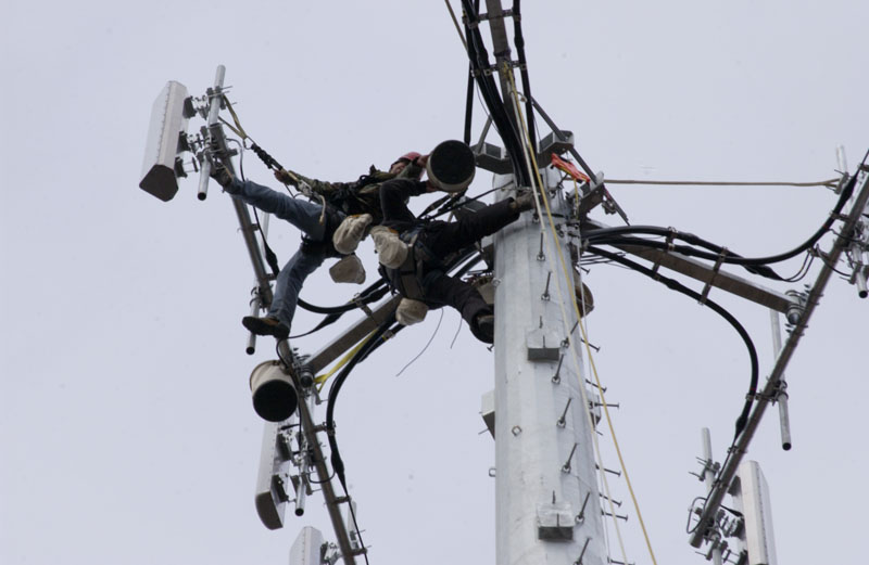
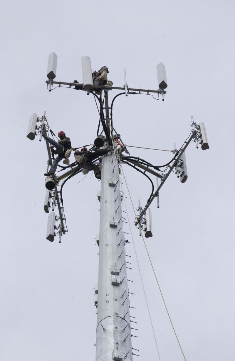
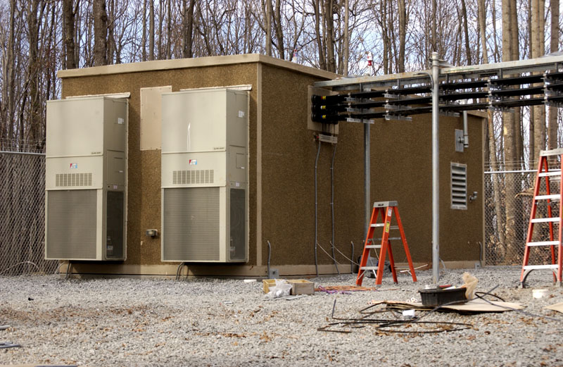
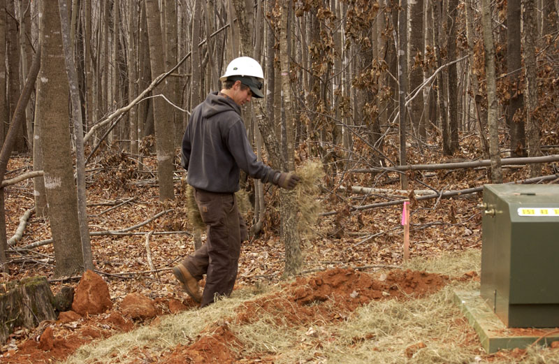
The engineers I spoke with yesterday were hard at work, finishing up the job of installing equipment on the new tower. Two or three guys were actually up on the tower, working on the antennas. Other guys were working in the equipment shack and even doing landscaping work. I’m glad I drove the Jeep yesterday rather than the Smart car. The tower is up a steep hill on a ridge, on an access road newly cut. Verizon has done an outstanding job of doing erosion control on the new road and around the tower site.
It’s nice to see Verizon spending money here, since I’ve spent so much money with them in the last four years.
Verizon plans to make money, of course with the new tower and the LTE 4G rollout. In rural areas which have been converted to LTE 4G, Verizon is offering a new service called “HomeFusion.” It will be pricey but fast. As I have learned, you can’t get decent Internet over wireless out in the sticks without a good antenna, properly placed. The Verizon HomeFusion service will include professionally installed outdoor antennas.
My data bill is now my highest bill — higher than my health insurance, higher than my county taxes, twice as high as my energy bill. Out here on the fringes of the digital world, there’s no other way.

While I love the internet and my cell phone, I am convinced the EMF pollution (for lack of a better term) generated by wireless is extremely hazardous. While some wireless can be useful, as a society we are overdoing it.
Wasn’t “better living through chemistry” once a catchphrase and now we see how chemicals cause cancer? Same type of thing here.
I tend to limit my cell phone calls whenever possible. I can actually feel the buzz of the phone as can a number of people I know. I prefer a computer hooked up to a cable rather than wireless for the same reason.
It’s unfortunate that the data providers aren’t wiring the rural areas. These areas tend to have lower EMF pollution. Many people are sensitive to this whether or not they understand it on a conscious level. It’s part of why we breathe deeper and sleep better in rural areas.